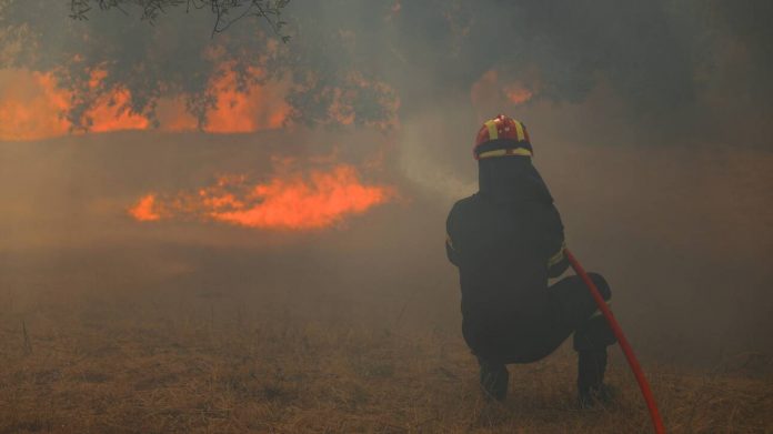
To ευρωπαϊκό δίκτυο Copernicus δημοσιοποίησε χάρτη με τις καμένες εκτάσεις στην Αττική, από το μεσημέρι της Κυριακής, οπότε και ξέσπασε η φωτιά στον Βαρνάβα.
Yesterday, a #wildfire broke out near #Varnavas, northeast of #Athens 🇬🇷, spreading rapidly & covering the city in thick smoke
Our #MappingTeam is working to produce detailed maps of the 🔥 extent
🔽Our latest #EFFIS data shows the burnt area & active flames pic.twitter.com/rW1Ih963QR
— Copernicus EMS (@CopernicusEMS) August 12, 2024
*Φωτογραφία αρχείου


